

Product Overview
GPS Receivers / GIS Software
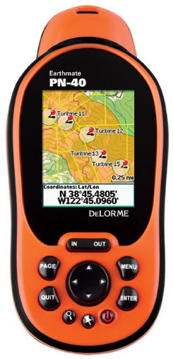
XMAP GIS Software with Earthmate GPS PN-Series devices provides surveyors, field engineers, utilities and construction contractors with tools for site preparation and geographic project management.
Build your project geographically within XMap. Attach all pertinent geo-records to one project file. Apply GIS layering tools to achieve an in depth understanding of your project area.
XMap GIS Enterprise, XMap GIS Editor, and XMap Professional provide a three-tiered GIS solution for efficiently creating, importing, editing, classifying, querying, and sharing your GIS data in an enterprise environment. XMap 6 is equally suited as a standalone GIS software solution or as a supplement component to your existing GIS Infrastructure.
In addition to GIS, these versions of XMap include powerful routing and in-vehicle navigation tools; advanced GPS support for field tracking and navigation; interoperability with Earthmate PN-Series GPS devices for field data collection and exchange of map data, waypoints, and tracks; map viewing software for PDAs; 3-D terrain modeling with simulated fly-over functionality; advanced printing tools; and much more.
No reviews yet. Be the first to share your experience.
Help others choose confidently by sharing your feedback.