Product Overview
LandSketch for Highways
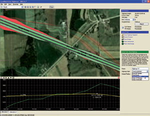
Developed with input from state DOTs, LandSketch™ for Highways dramatically improves the efficiency of the route creation and selection process. Powerful route layout and GIS tools help you analyze multiple corridor alternatives quickly.
Additionally, you eliminate steps in the repetitive GIS->CAD->GIS cycle by utilizing built-in reports that immediately quantify environmental impacts, area takes and rough earthwork.
Rate and Review Eagle Point - LandSketch for Highways
No reviews yet. Be the first to share your experience.
Help others choose confidently by sharing your feedback.
LandSketch for Highways