Product Overview
GeoLynx Mobile
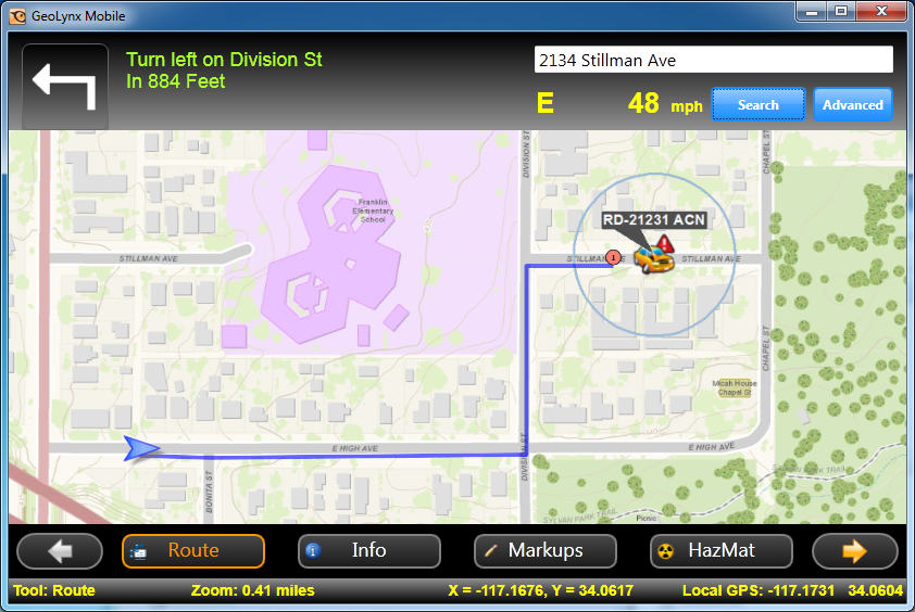
GeoLynx Mobile extends public safety GIS data to the field when installed on a mobile data computer in each of your response vehicles. Immediate and iportant information in an emergency call situation displays on one screen.
GeoLynx Mobile can be confirgured three different ways. In the most basic setup, GeoLynx Mobile is installed and used as a navigable GIS map in the vehicle. Mapping features include address searches, routing, and distance measurements, etc. Greater functionality can be added with GPS connection to track the vehicle on the map. The functionality can be enhanced further with full fleet tracking over a mobile data network so users can see themselves and other response units in real time as a situation unfolds.
No reviews yet. Be the first to share your experience.
Help others choose confidently by sharing your feedback.