Product Overview
GeoLynx DMS
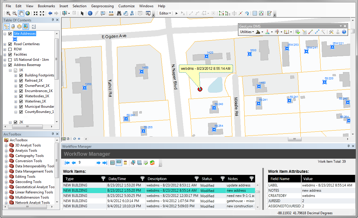
Managing your GIS data for your public safety system, including a NG9-1-1 ESInet, is simple with GeoComm’s public safety data management software. GeoLynx DMS is a toolbar in Esri’s ArcMap that exposes features and functions specific to maintaining public safety GIS data: address assignment, address range creation, wireless cell sector maintenance, atlas generation, MSAG and CAD geofile maintenance, and public safety specific quality control and quality assurance audits. In addition, GeoComm offers additional tools to better manage data discrepancies as found by other GeoComm software – GeoLynx Server and GeoLynx Spatial Router and to manage provisioning the most current GIS data into an ESInet, when present.
GeoLynx DMS decreases the time and effort it takes to build and maintain quality public safety GIS data and 9-1-1 databases and increases quality and accuracy by providing structured and automated QA/QC procedures.
Benefits
*Decreases the time and effort required to build and maintain public safety GIS and 9-1-1 databases
*Quickly assigns addresses to a group of points at a time
*Increases data quality and accuracy by providing several automated quality assurance/quality control procedures
*Provides discrepancy management and atlas building
*Enables simple building of Computer Aided Dispatch (CAD) geofiles and master street address guides (MSAG)
No reviews yet. Be the first to share your experience.
Help others choose confidently by sharing your feedback.